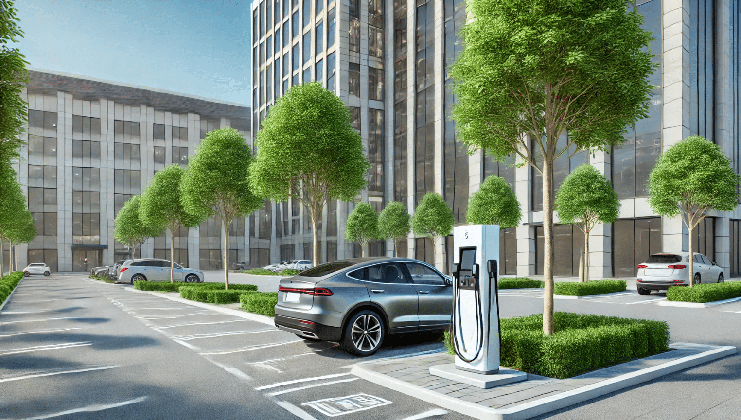
he Flemish government Department of Mobility and Public Works (MOW) commissioned EVtools to develop potential charging station maps for the thirteen Flemish cities to make it quick and easy to locate charging stations. After all, selecting suitable locations for charging points can be a time-consuming task. The use of dynamic maps in Maps, a software solution of EVtools, accelerates this process.
Flanders in development
Flanders is in the middle of the transition to a zero-emission vehicle fleet. Investing in charging infrastructure is being done to support all the electric vehicles that will be expected in the future. Throughout Flanders, a lot of work will be done in the coming years to expand the charging network. For example, the Flemish government Department of Mobility and Public Works (MOW) is currently tendering for a concession to select one or more charging operators (CPOs) who will expand the network throughout Flanders.
Flanders has thirteen center cities: the two major cities of Antwerp and Ghent, but also the so-called regional cities of Aalst, Bruges, Genk, Hasselt, Kortrijk, Leuven, Mechelen, Ostend, Roeselare, Sint-Niklaas and Turnhout.
The role of EVtools
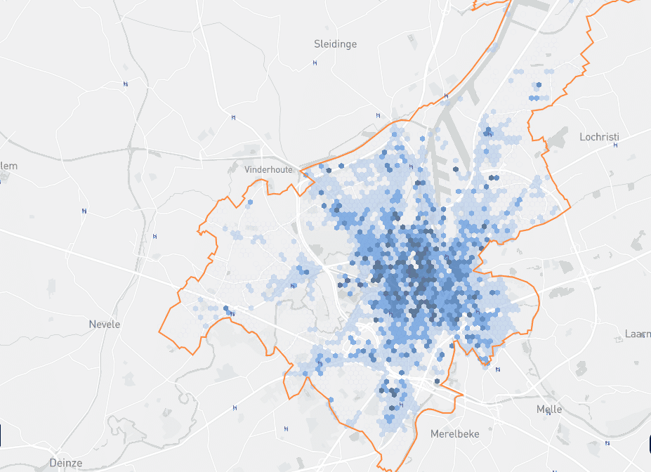
To steer this rollout in the right direction and to be able to react quickly, EVtools was commissioned to draw up the so-called ‘potential maps’. EVtools delivers smart software solutions and data that take control on the planning, realization, and management of charging infrastructure for electric transport. The software used for the potential maps is called Maps. Initially, the local need for public charging points was investigated. The cities were divided into boxes, and hexagons, with a radius of 250 meters. The charging demand was analyzed for each individual square. Data such as the type of buildings, income, education, car ownership of the inhabitants, the number of households and the land ownership (public versus private) in that hexagon are used In this analysis. The number of charging stations expected to be needed in 2022, 2025 and 2030 can be determined based on the charging needs. These charging stations are then drawn on the map. It was considered where Fluvius’ low and medium voltage networks were located. Thus, a potential charging location near the grid can be selected. The area of parking spaces, the minimum space required to install a charging station and specific location criteria of a city or municipality are also included in these calculations.
On receiving a request for expanding the charging network, a potential charging location can be selected on the map and charging operators can install charging points there as soon as possible. By mapping potential charging locations in advance, the complex process of choosing a location can be shortened and the transition to zero-emission mobility can be accelerated.