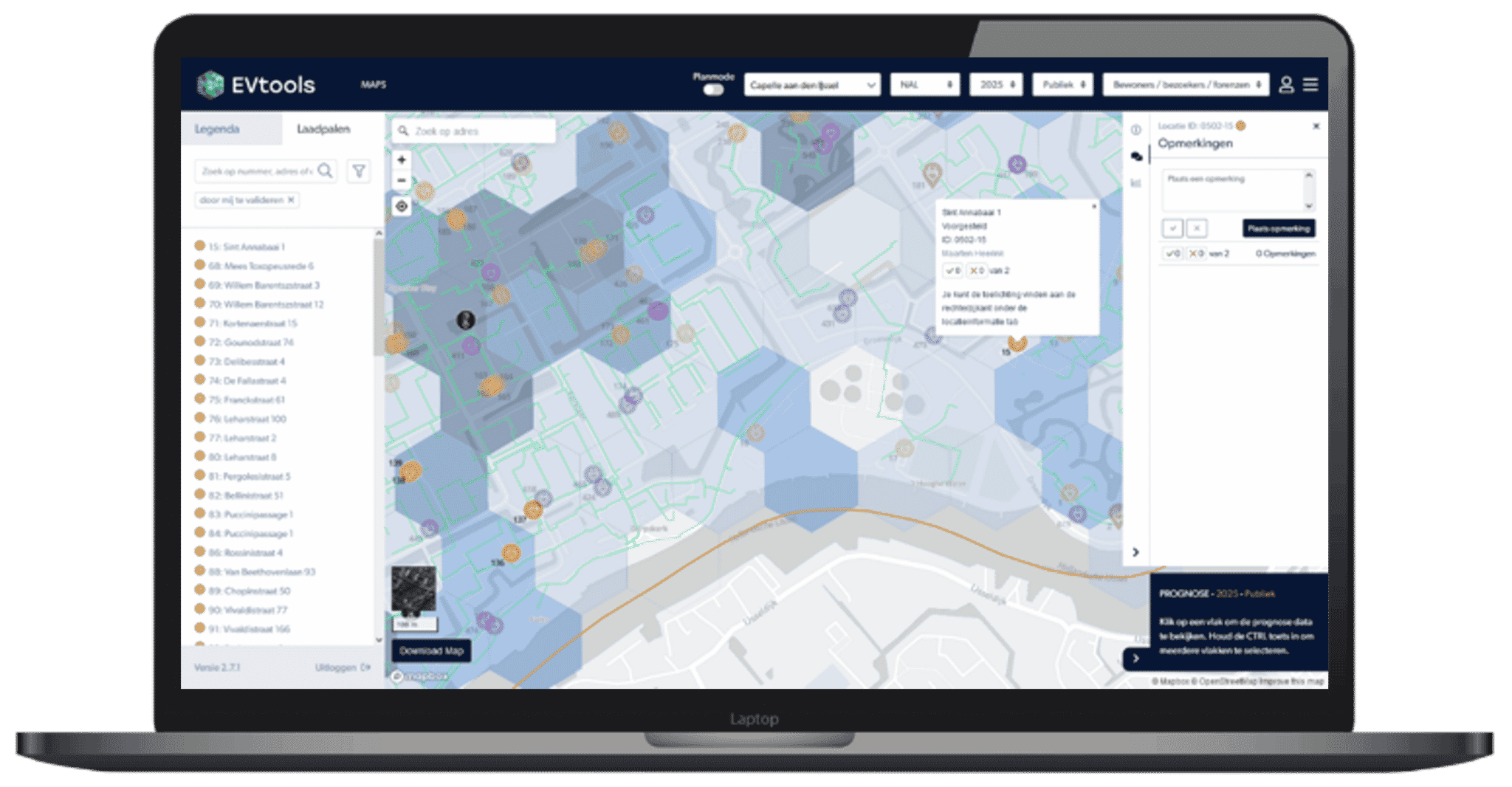
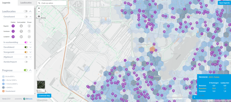
EVMaps: smart software for planning data-driven charging infrastructure
By 2030, electric cars will be the norm, with an estimated 2.1 million electric vehicles in the Netherlands. This means a significant increase in the number of charging stations will be necessary.
EVMaps is designed to make the planning of charging infrastructure manageable. Efficient. Data-driven. Error-free.
Saves time and prevents duplicate work
Find out why more than half of Dutch municipalities already use EVtools for planning charging stations.
All the data you need for planning optimal charging points in one platform.
A charging station must meet a long list of requirements. How do you determine where it can be placed? Or if it is even allowed?
With EVMaps, identifying suitable locations becomes a straightforward task.
- Overview of current charging infrastructure: public, semi-public, private
- Overview of current charging infrastructure: charging stations, charging squares, fast chargers
- Extensive set of standard map and context layers, including voltage network, green spaces, and parking spaces
- Ability to (automatically) import specific map layers
- KPIs and data from existing charging stations to enable data-driven expansion