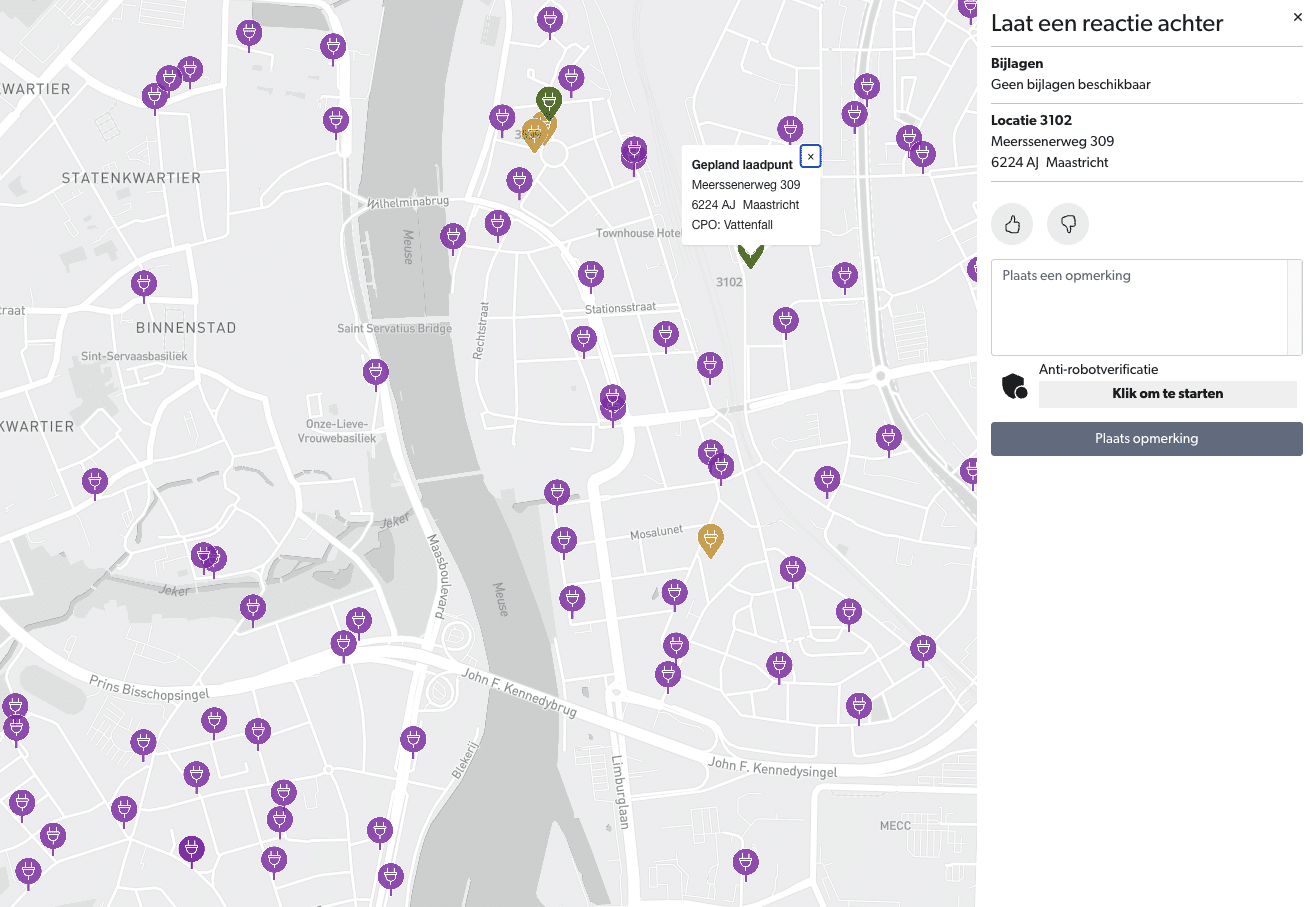
Directly involve citizens and businesses in the decision-making process.
Increased acceptance
Fewer objections due to early involvement and clear communication.
Location optimization
The most suitable locations are selected through collaborative input.
Accelerates charging station deployment
Customizable settings to meet local needs and requirements.
Prevents costly errors by leveraging local community knowledge.
Easy-to-use interface for both municipal administrators and citizens.
Implementation Plan
Initial Consultation
Start with an initial consultation to lay the groundwork for the participation process.
Participation
Open the tool for user feedback for 4 to 6 weeks.
Analysis
Analyze feedback and adjust proposed locations based on legitimate objections.
Finalization
Final discussion and completion with a definitive plan map that will be made public.
What our clients say
“In Heerlen, we often receive comments on traffic decisions for a charging location, or even only when the charging station is installed. We aimed to prevent this by involving people in the location selection process beforehand. The proactive approach (participation approach, ed.) is highly suitable for this. The plan map combined with the communication strategy helps to collect feedback in an accessible way through a single point of contact over a short period. This allows us to select better locations and reduces subsequent objections because people are informed earlier and more comprehensively.”
Heerlen City local authority
Frequently asked questions about/from government agencies