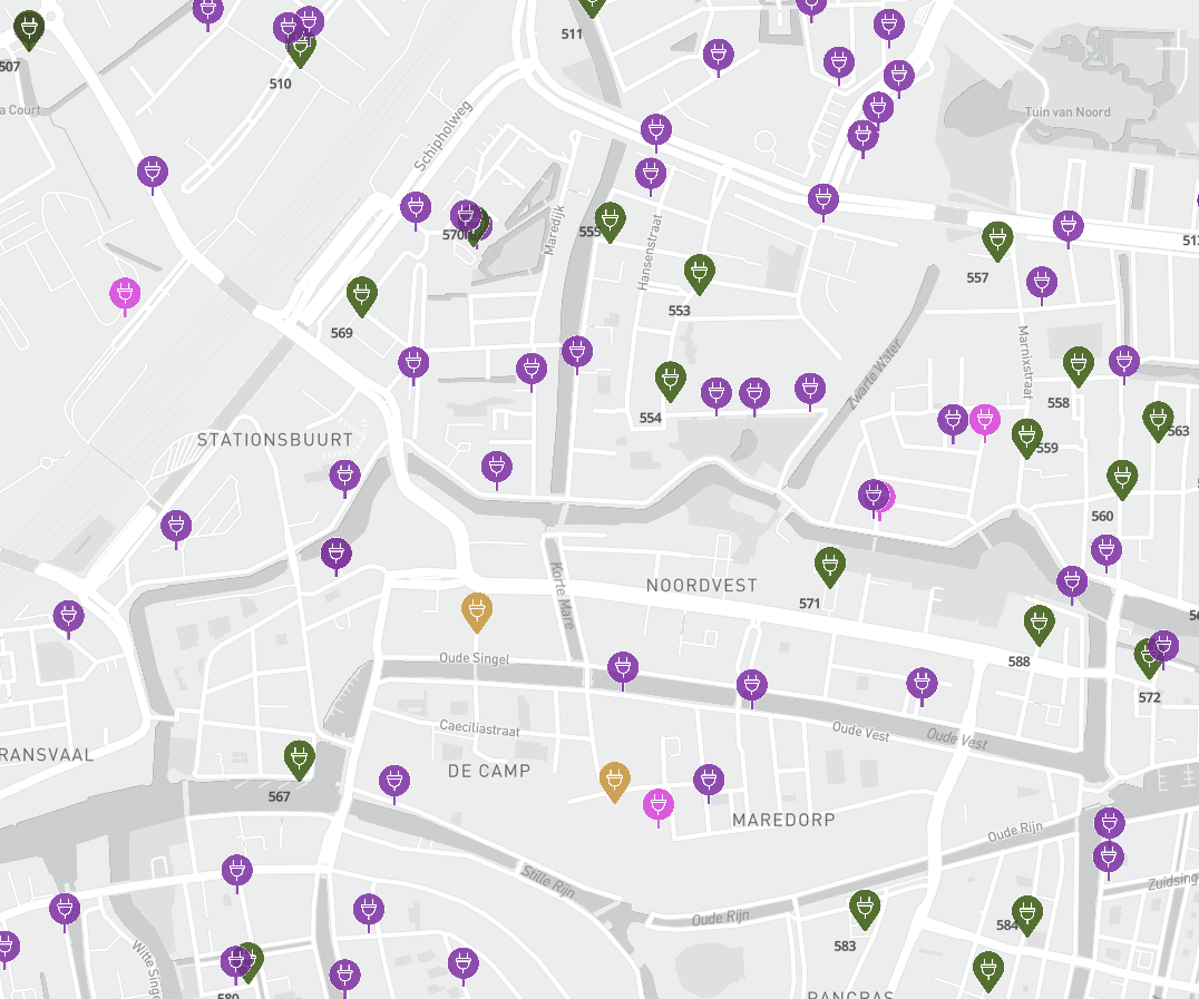

A charging station map isn't a photo—it's a video
A judge in Munich, the Dutch Charging Infrastructure Agenda, and the day-to-day practice of charging planning all point to the same conclusion: a charging location plan that was adopted two years ago and has not been updated since poses a legal risk. What makes a good charging plan—and why is updating it not a luxury but a necessity? Read more in my article about the implications of the ruling in the case of Qwello v. the City of Munich.
The ruling that should serve as a wake-up call for municipalities
On February 4, 2026, the Munich Administrative Court issued a ruling in a case concerning the allocation of permits for charging stations in public spaces.
Source: https://www.gesetze-bayern.de/Content/Document/Y-300-Z-BECKRS-B-2026-N-9625?hl=true
One of the key findings: a charging policy is legally valid only if it is objective, transparent, and up-to-date. A plan that is outdated, is not based on measurable criteria, or for which the rationale cannot be demonstrated does not provide a valid basis for rejecting applications for new locations.
This ruling was handed down under German law, but the underlying European principles—transparency, non-discrimination, and proportionality—also apply in the Netherlands. And then there is the Dutch Charging Infrastructure Agenda (NAL), which explicitly requires municipalities to update their charging location plans at least once every two years. Not as an administrative formality, but because the reality of charging behavior, grid capacity, and spatial development is changing rapidly.
What a Good Charging Station Layout Plan Includes
A charging station location plan—referred to as a “plan map” in some municipalities—is more than just a list of addresses where charging stations are located or may be installed. A legally and policy-wise sound plan must include at least the following elements.
1. A well-founded needs forecast
How many charging stations are needed per district or neighborhood, based on current EV penetration data and forecasts? Use sources such as the ElaadNL forecasts by ZIP code and parking demand analyses. A plan without a forecast is just an opinion, not a well-founded argument.
2. An assessment of the current offerings
Public charging stations, semi-public charging stations at businesses and parking garages, and private charging solutions in the neighborhood—all of these types of charging infrastructure are relevant to the question of whether there is room for expansion. Those who look only at their own public charging stations underestimate the total supply.
3. Exclusion Criteria
Which locations are being rejected and why? Traffic-related objections, grid capacity issues, conflicts with other land-use functions—all of these grounds must be explicitly stated and documented. This is the basis on which you can reject a location without the risk of a successful objection.
4. Capacity Utilization as a Dynamic Indicator
This is the element that most plans overlook. A location that “provides coverage” on paper but is fully occupied every evening is not functionally sufficient. Occupancy data from active operators is essential for assessing the actual situation—and for being able to demonstrate that the network provides sufficient coverage, or, conversely, to show that expansion is necessary.
5. Network Impact and Technical Capabilities
Where is there capacity on the power grid? Which locations require costly excavation work? This information helps determine which locations are realistically feasible, can be expanded in the future, and aids in setting priorities.
6. Public Consultation
To ensure that a plan remains widely supported and objective, it is possible to periodically organize a public participation process involving citizens, businesses, and organizations to build support. This also makes it much easier to secure political approval for the charging plan and strengthens the policy.
7. An update cycle
Specify when the plan will be reviewed, based on which indicators (occupancy rate, EV growth, changes to zoning plans), and who is responsible for this.
Why Updating Is Legally Necessary
The VG Munich ruling explicitly states that a loading plan that is not regularly updated becomes legally contestable. The reasoning is simple: a plan drawn up three years ago based on data available at that time cannot serve as an objective basis for a decision in the present—especially if circumstances have changed since then.
That argument holds just as much weight in the Netherlands. A municipality that rejects a new location or expansion on the grounds that “our network provides sufficient coverage”—even though the plan is based on data from two years ago and the utilization rate has risen sharply since then—will have a weak case before the administrative court.
In this light, the NAL standard of biennial updates is not merely a policy recommendation, but a legal minimum standard that you can use as a benchmark.
Updating in Practice: What It Takes
Updating is more than just revising a document. It means:
- Data collection: Request and analyze occupancy data from operators, process new ElaadNL forecasts, and incorporate changes to land-use plans.
- Comparison with the previous version: What has changed, and what does that mean for location prioritization?
- Administrative Adoption: An updated plan must be formally adopted by the council to be legally binding. An update made by administrative officials without a council resolution is insufficient.
- Communication: Operators and residents need to know that the plan has been updated and which locations are available or will become available.
This process requires structural capacity—both for data collection and for the administrative procedure. Municipalities that track this information manually in spreadsheets or separate documents run the risk of their data falling behind reality.
How EVTools Helps with This
EVTools offers municipalities a platform that turns the charging location plan into a living document rather than a periodic snapshot. The platform combines location data, occupancy data from operators, forecasts, and spatial information into a single overview—so you can see at any time whether your plan still aligns with reality and identify in a timely manner when an update is necessary.
Would you like to know how your current charging station layout measures up against the criteria listed above? Pleasecontactus for a no-obligation consultation.